Oil and Gas Development at
Theodore Roosevelt National Park
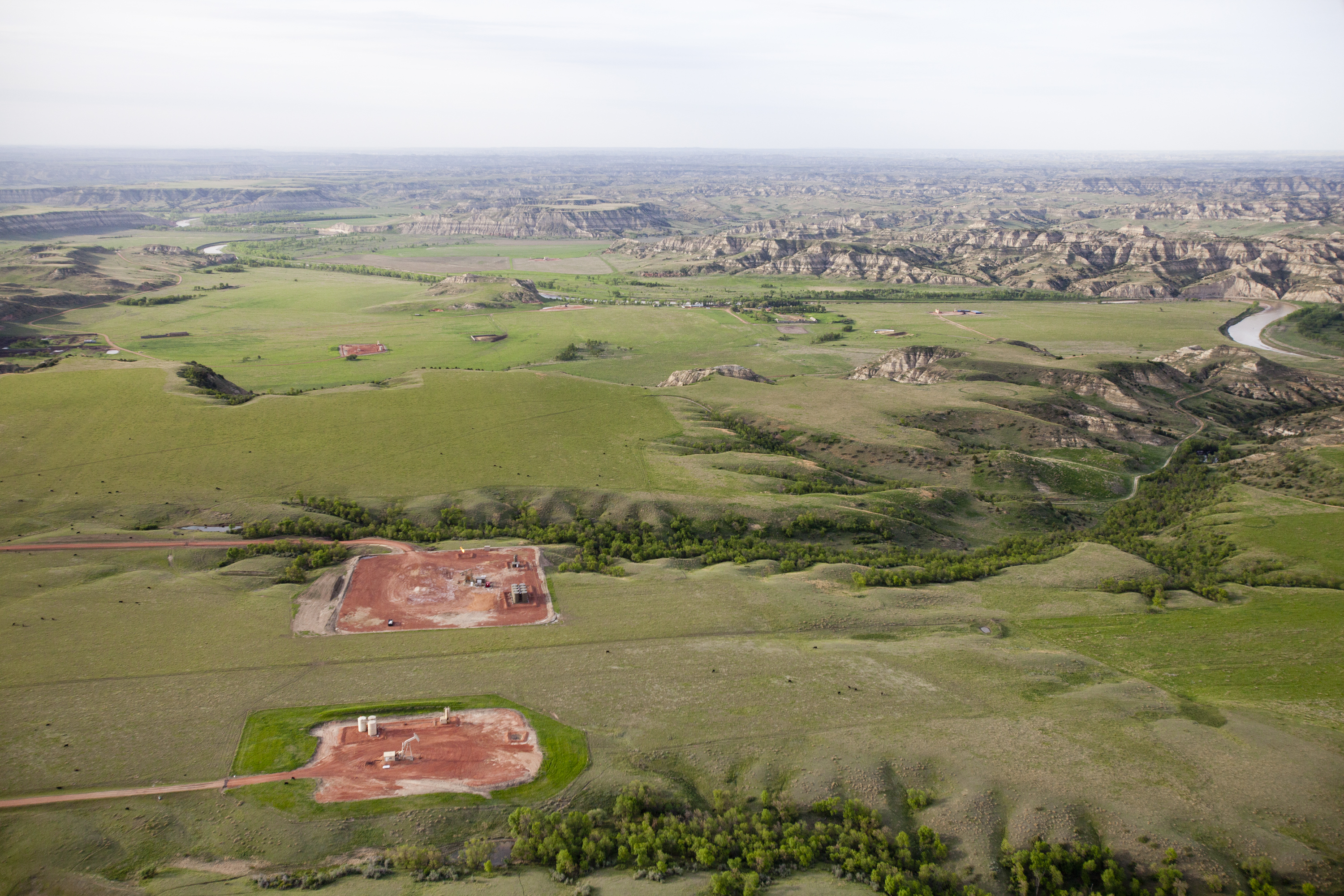
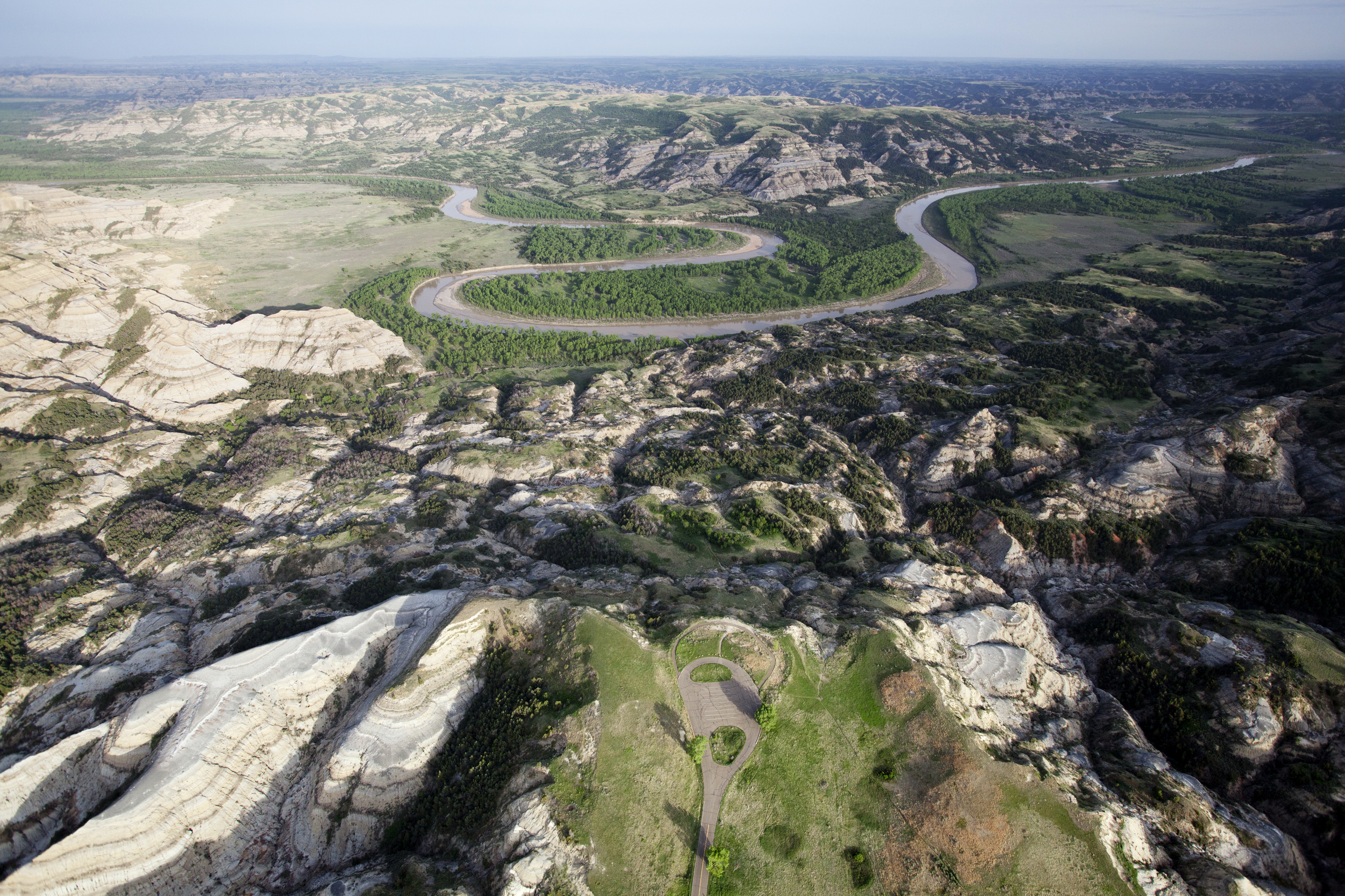
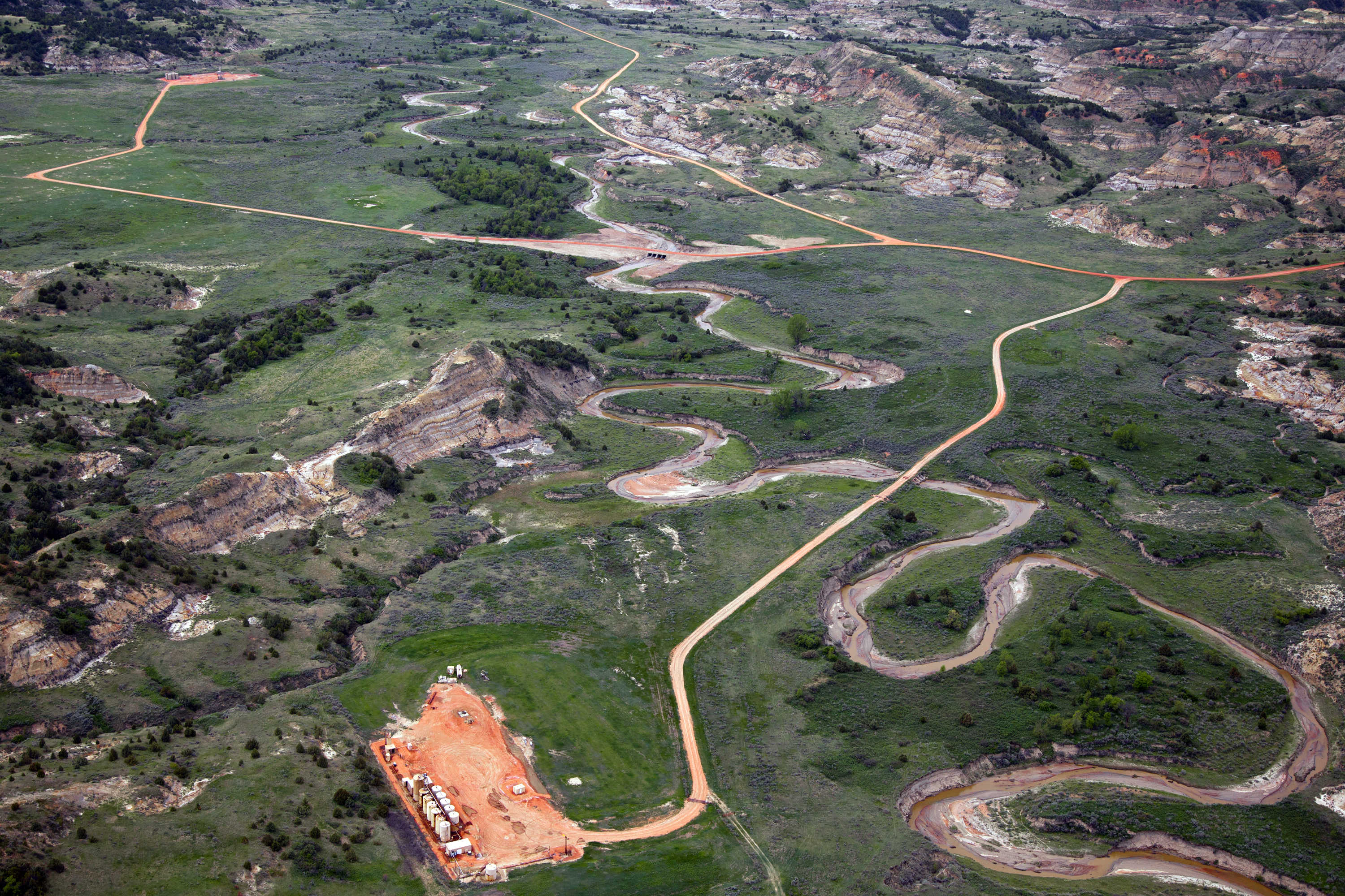
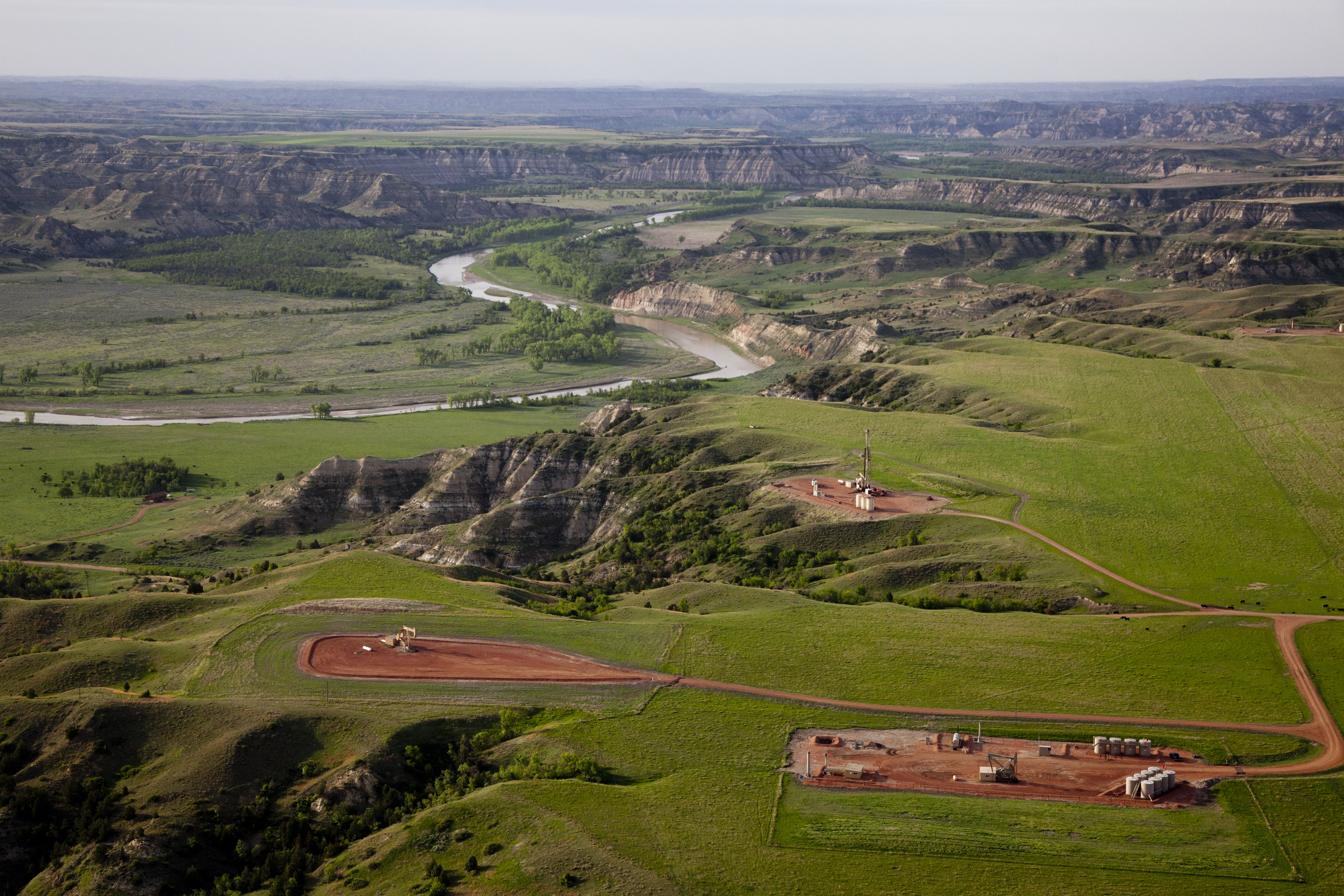
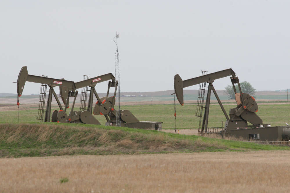
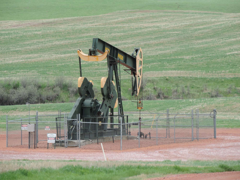
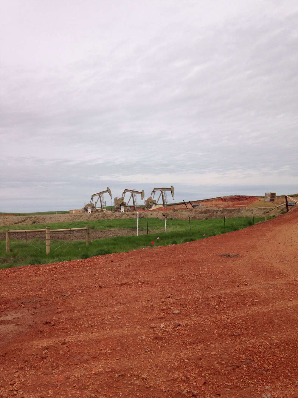
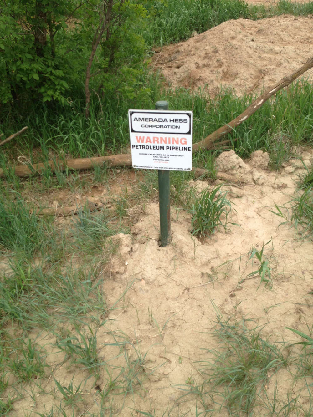
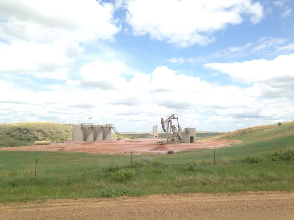
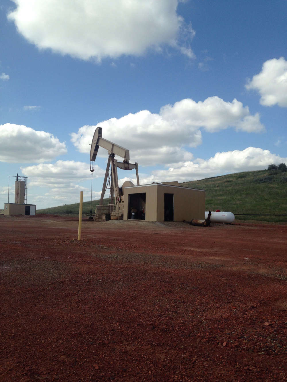
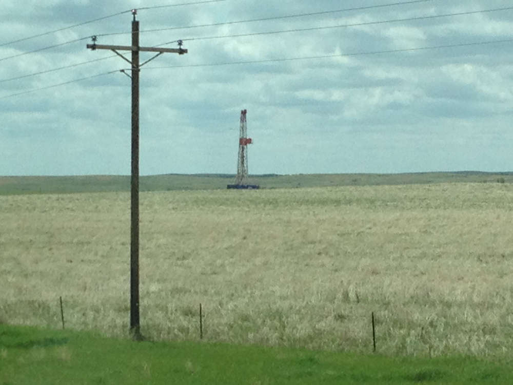
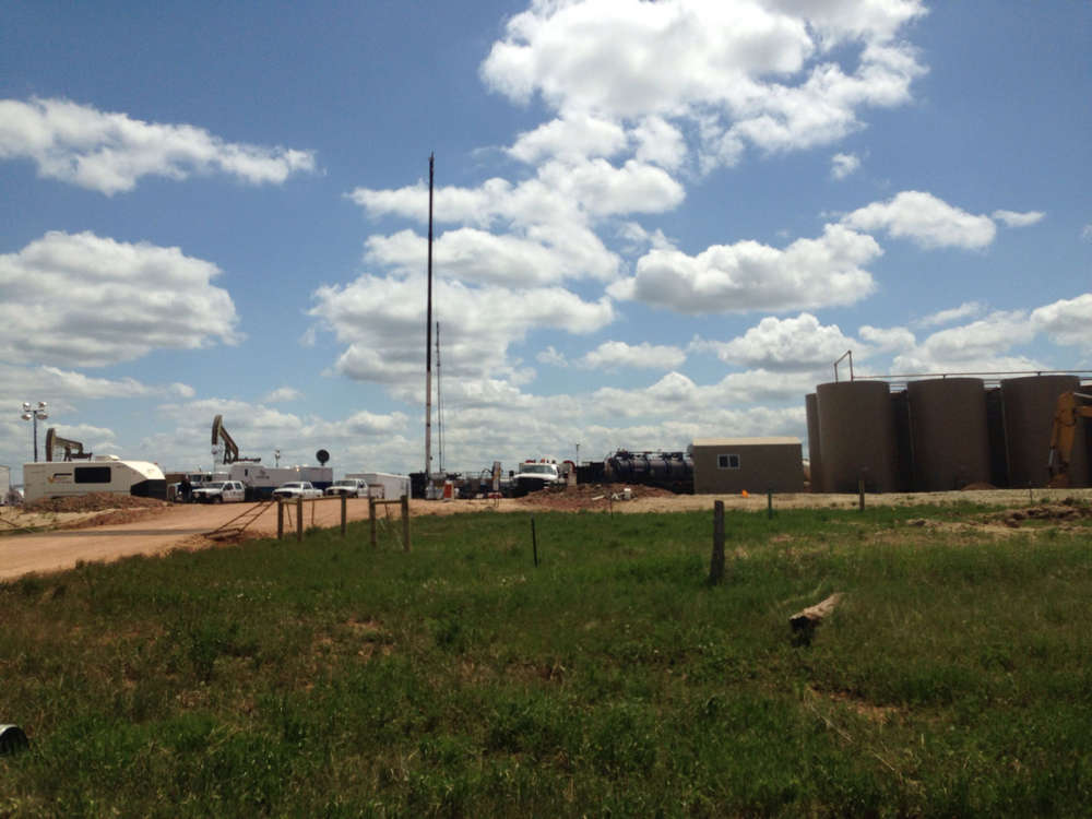
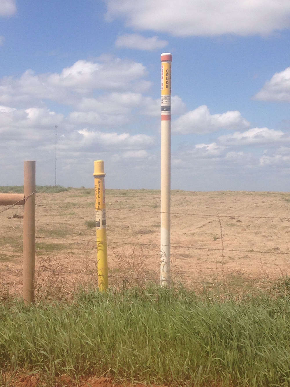
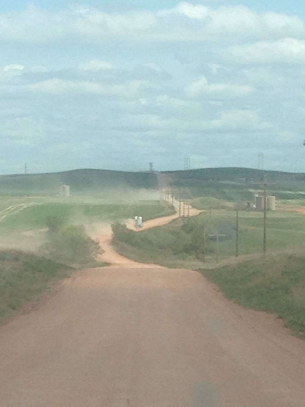
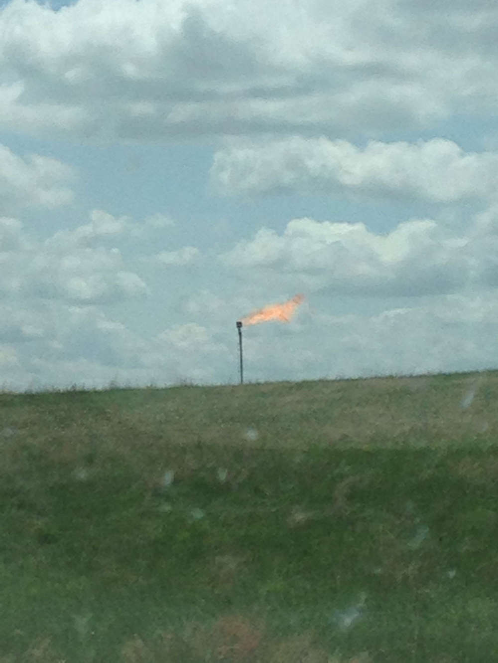
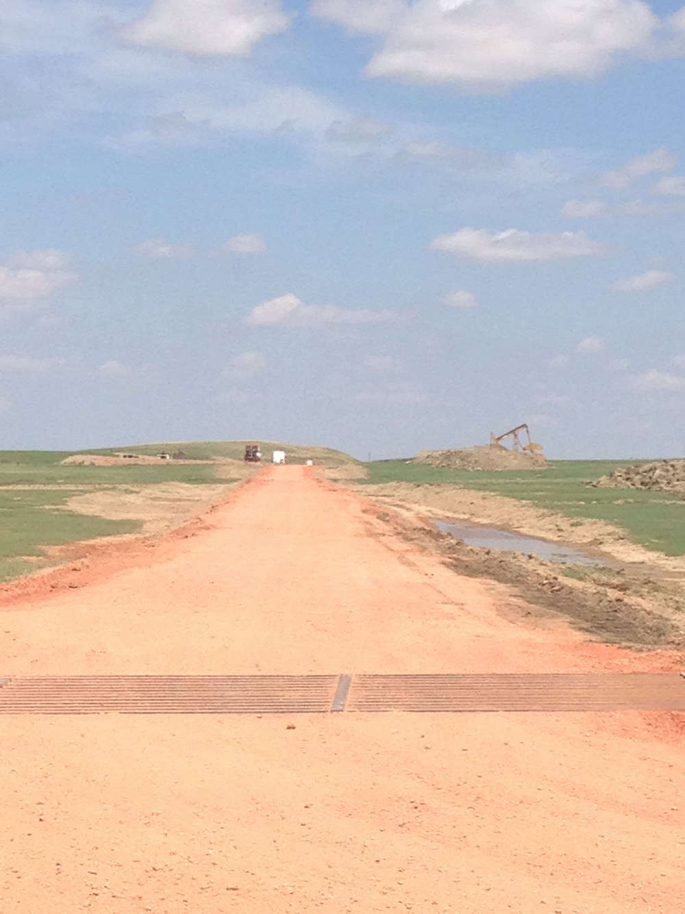
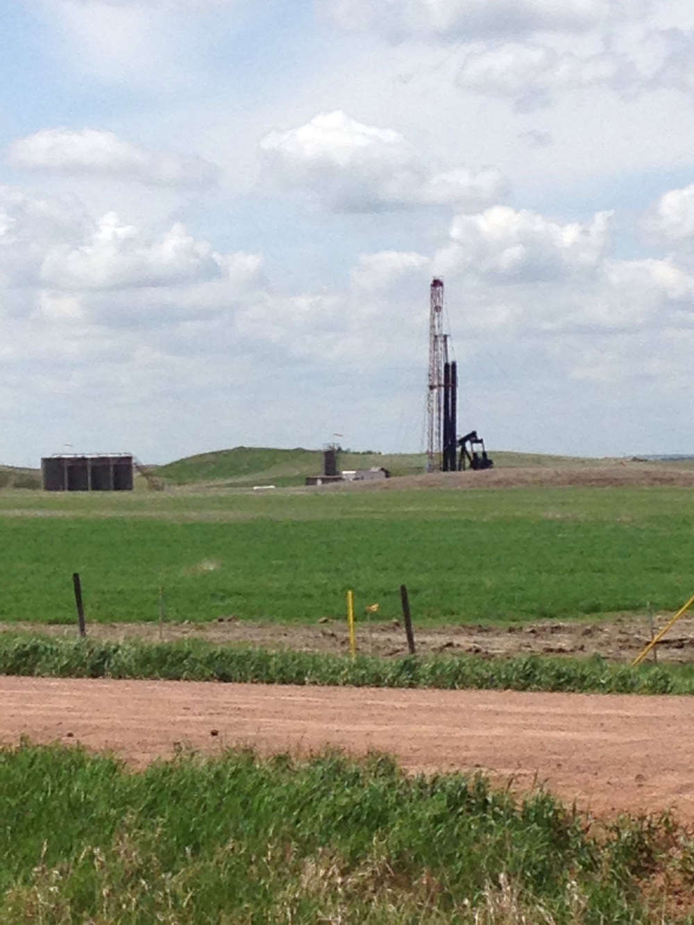
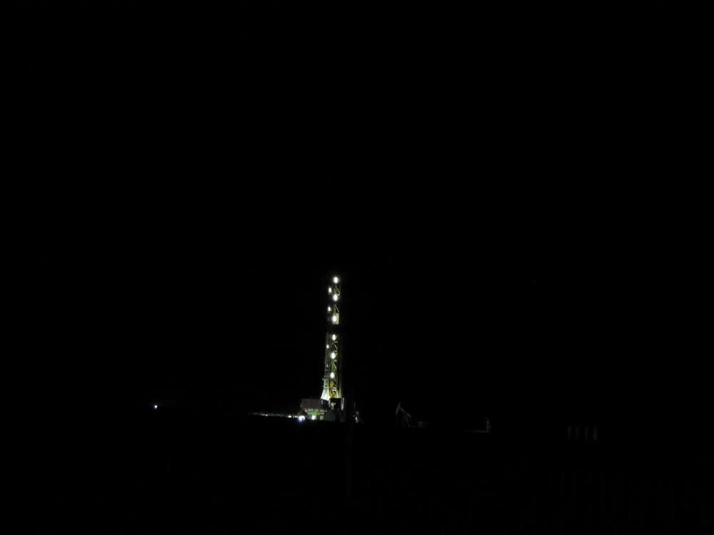
In May 2014, the National Parks Conservation Association partnered with FracTracker to record the impacts of oil and gas development on North Dakota’s Theodore Roosevelt National Park. Using a new Mobile App developed by FracTracker, local volunteers spend two days driving are the North, South and Elkhorn Units of the park, recording images of wells, flares, oil trucks, trains, drilling rigs, pipelines, and other products of the boom on the Bakken.Use the map below to see real images of what it looks like when a national park is in the middle of oil country.
Photos
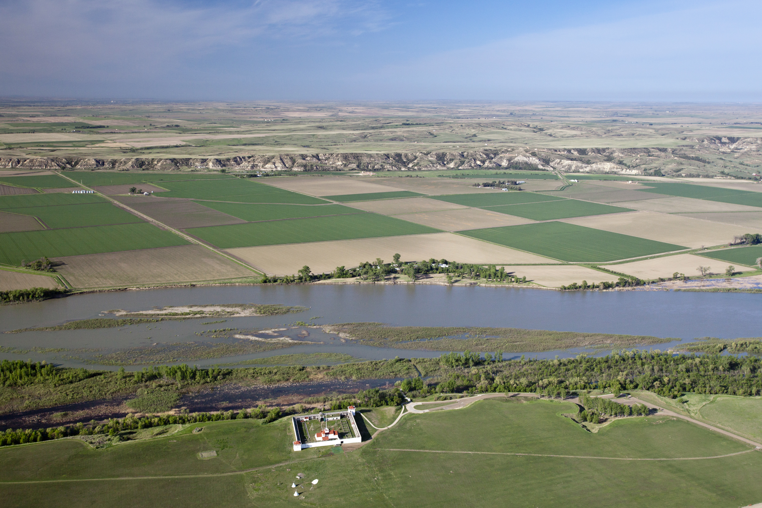
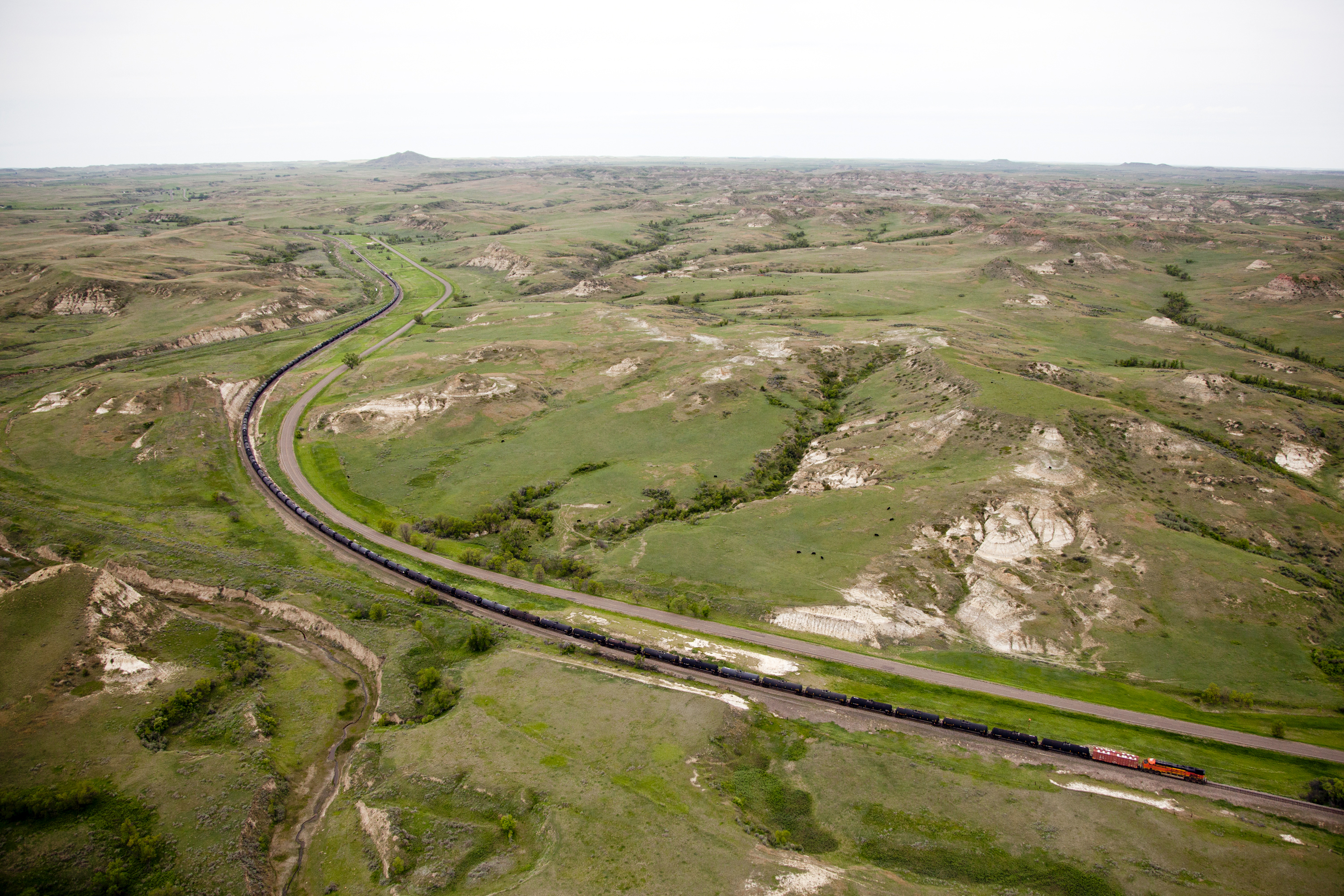
AERIAL PHOTOGRAPHY by Chris Boyer of Kestrel Aerial Services


ON-THE-GROUND images taken using the FracTracker Mobile App


Videos
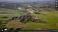
Aerial Photography in North Dakota
In May 2014, NPCA and FracTracker ventured to North Dakota to see how oil and gas development was impacting Theodore Roosevelt National Park and Fort Union Trading Post National Historic Site. Part of the trip included some incredible aerial photography from Chris Boyer of Kestrel Aerial Services. This short video introduces us to Chris and his plane, and shows some of the amazing images he was able to capture.
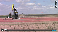
Theodore Roosevelt National Park
In May 2014, the National Parks Conservation Association and FracTracker ventured to North Dakota to see firsthand the impacts that the Bakken oil boom was having on Theodore Roosevelt National Park and Fort Union Trading Post National Historic Site.
NPCA gathered local volunteers and used a new App developed by FracTracker that uploads images of oil and gas development to an online map. The teams spent two days covering the north, south and Elkhorn units of Theodore Roosevelt NP. This video introduces you to the trip and some of the players involved.
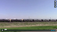
Bakken Oil Trains
In May 2014 NPCA and FracTracker ventured to North Dakota to see how the rise in oil production there was impacting Theodore Roosevelt National Park and Fort Union Trading Post National Historic Site.
One perhaps not-well-known impact is the rise in the transport of crude oil via rail. Bakken oil is loaded onto thousands of train cars and then shipped to refinery facilities all over the country. They can be very dangerous, and the Department of Transportation is currently working to improve train safety rules.
This is video of a major facility just a few miles from Fort Union Trading Post NHS.
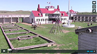
Fort Union Trading Post NHS
In May 2014, NPCA and FracTracker traveled to North Dakota to see how the Bakken oil boom was impacting Theodore Roosevelt National Park and Fort Union Trading Post National Historic Site.
This video introduces the history of Fort Union Trading Post NHS, as well as the existing and potential threats from nearby development.
- Download the FracTracker Mobile App and start uploading your own images of oil and gas development. Fight misinformation with evidence!
- Share this page, and help spread information about the impacts of oil and gas development in North Dakota, Pennsylvania, and elsewhere.